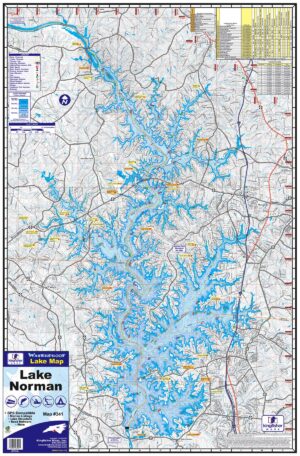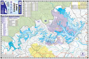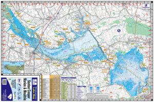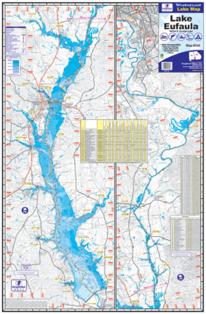
Lake Rhodhiss Waterproof Map #1215
Price range: $13.99 through $34.99
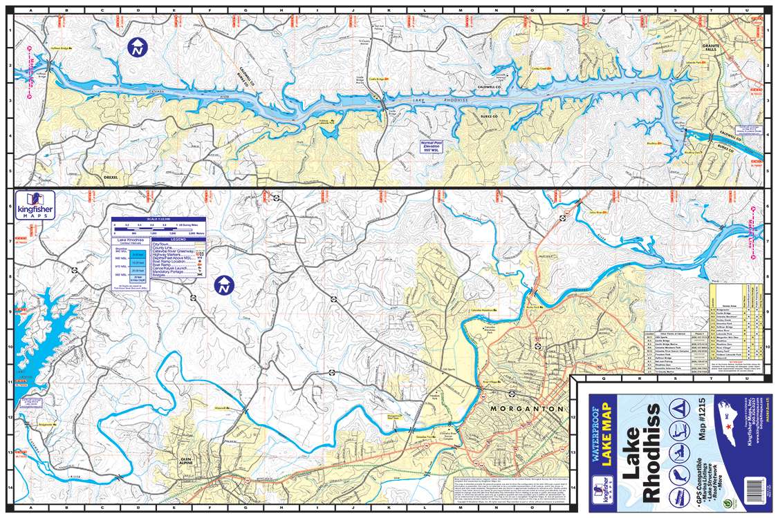

Lake Rhodhiss Waterproof Map #1215
Price range: $13.99 through $34.99
- Waterproof Lake Map
- 24″ x 36″, Folds to 6″ x 9″
- One-sided Topographical Map
- 10′ Contour Intervals
- Boat Ramps, Canoe/Kayak Launches & Marinas
- Full Color
The Kingfisher Maps Lake Rhodhiss Waterproof Map includes detailed coverage of Lake Rhodhiss located in North Carolina on the upper portion of the Catawba River at the foothills of the Blue Ridge Mountains. This 24″ x 36″, one-sided, topographical lake map includes marinas, recreation areas, boat ramps, canoe & kayak launches, contour intervals, and more. The map is printed on a durable, waterproof paper and folds down to 6″ x 9″.